Regional Environmental Monitoring Platform
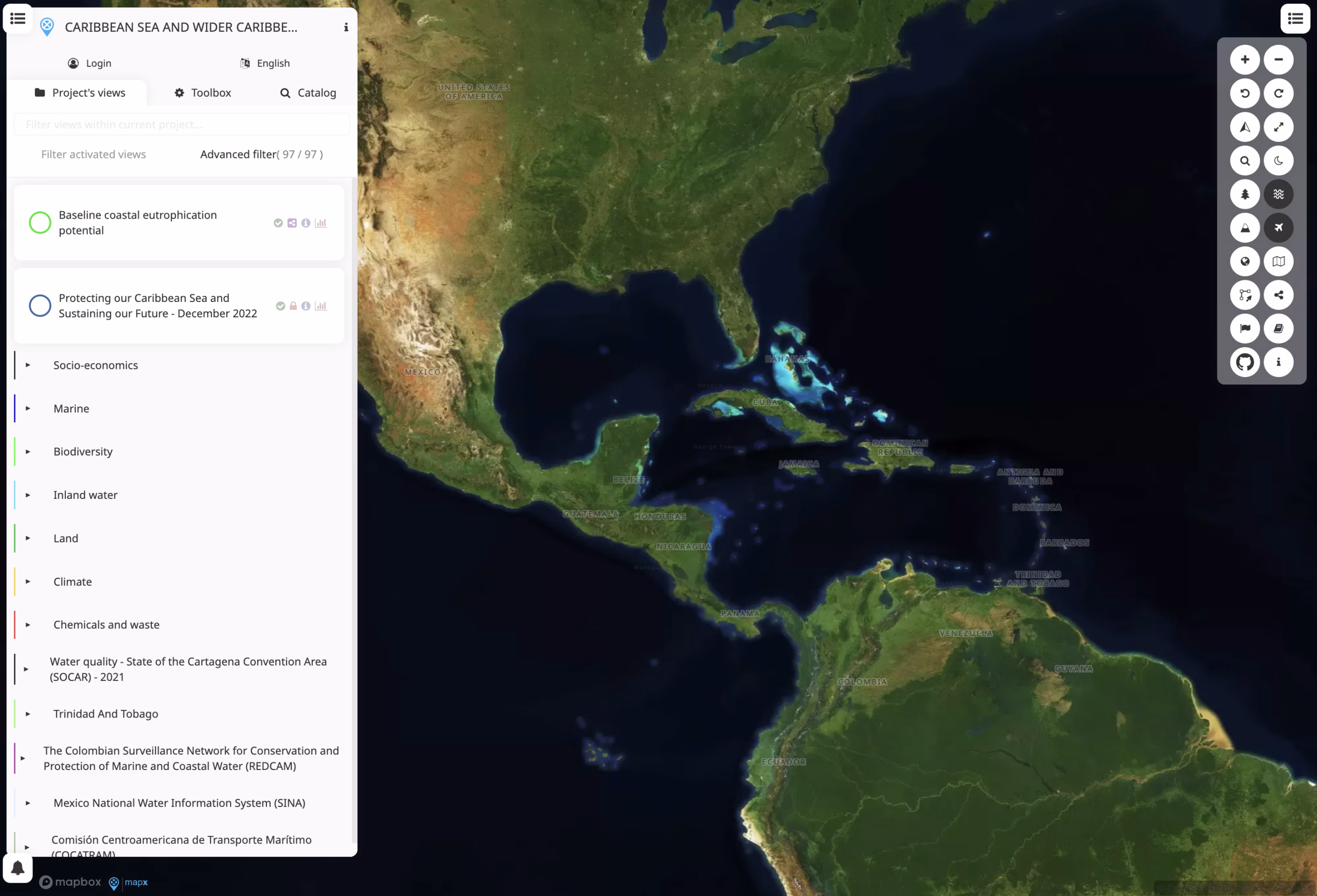
A map view showing geospatial context to provide an easy and shareable snapshot of environmental/spatial data for reporting or display.
-
Author:University of Geneva and GRID-Geneva
-
Published:01/01/2022
Publisher: Cartagena Convention, UNEP
About The Product
Description
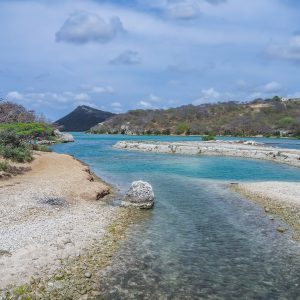
Published in the Cartagena Convention Secretariat, this map view presents a specific map zoom and satellite basemap enabled. It allows users to explore spatial information (e.g., environmental, socioeconomic, land-use, or other geodata) at that location without needing to log in or load extra layers, making it ideal for sharing a fixed map snapshot. Because MapX supports a wide variety of data types (vector, raster, tabular) and tools such as downloads, filters, story-maps and map composition, this snapshot can serve as a reference or embedded map for reports, webpages or stakeholder communications.
Additional information
| Language | English |
|---|---|
| Publisher | Cartagena Convention, UNEP |